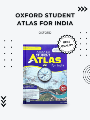
Why Choose the Oxford Student Atlas Hindi Medium?
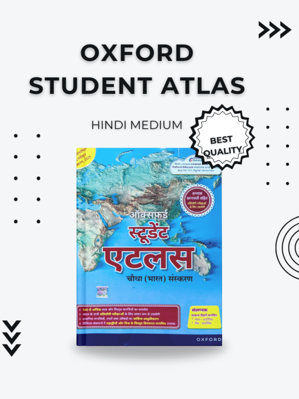
The Oxford Student Atlas Hindi Medium is more than just a book of maps; it’s a gateway to understanding the world. Published by Oxford University Press, a name synonymous with quality and academic excellence, this atlas is specifically designed to meet the needs of students in India. With its precise and updated geographical data, it’s an indispensable tool for students from middle school to those preparing for highly competitive examinations.
This edition, presented in Hindi, breaks down complex geographical concepts into an accessible format. The vibrant, easy-to-read maps make learning an engaging experience, helping students to visualize and remember locations, physical features, and political boundaries effortlessly. Its content is meticulously curated to align with the curriculum of various Indian education boards, making it a reliable companion for every student.
Who It’s For
This atlas is the perfect resource for:
- School Students (Class 6 to 12): It serves as an excellent reference for geography and social studies subjects, aiding in homework, projects, and exam preparation.
- Aspirants of Competitive Exams: Essential for those preparing for UPSC, SSC, state civil services, and other government exams where a strong foundation in geography is crucial.
- Teachers: A valuable teaching aid for demonstrating geographical concepts in the classroom.
- Geographical Enthusiasts: Anyone with a keen interest in exploring the world’s geography will find this atlas a fascinating and informative read.
How It’s Used
The Oxford Student Atlas Hindi Medium can be used in numerous ways to enhance learning and preparation:
- Curriculum Support: Easily locate countries, states, capitals, rivers, mountains, and more, as required by your school syllabus.
- Exam Preparation: Use it to practice mapping questions, understand global and national events, and grasp geographical phenomena.
- Project Work: A reliable source for creating accurate and detailed maps for school projects and presentations.
- General Knowledge: Keep abreast of the latest geographical information, political changes, and environmental details.
The atlas features a special section on India, offering in-depth maps of states, union territories, and key geographical and demographic data. For an even deeper dive into Indian geography, you might find our blog post on “Key Geographical Features of India” insightful. This resource can be an excellent complement to your atlas, providing textual context to the maps.
For international reference and to understand the global context of the maps within this atlas, a trusted resource like the National Geographic Atlas of the World provides excellent supplementary information.
Key Features (Bullet Points)
- Hindi Medium Edition: All content, including labels and explanations, is in Hindi for easy understanding.
- Comprehensive Coverage: Includes maps of the world, continents, and a detailed section on India.
- Latest Data: Updated with the most recent geographical and political information.
- Thematic Maps: Features thematic maps on climate, vegetation, population, and more.
- Physical and Political Maps: Provides both types of maps for a complete overview.
- User-Friendly Design: Clear, color-coded maps and easy-to-read fonts make navigation simple.
Technical Specs (Optional)
- Language: Hindi
- Publisher: Oxford University Press









Reviews
There are no reviews yet.